Road Infrastructure Management
Transform Your
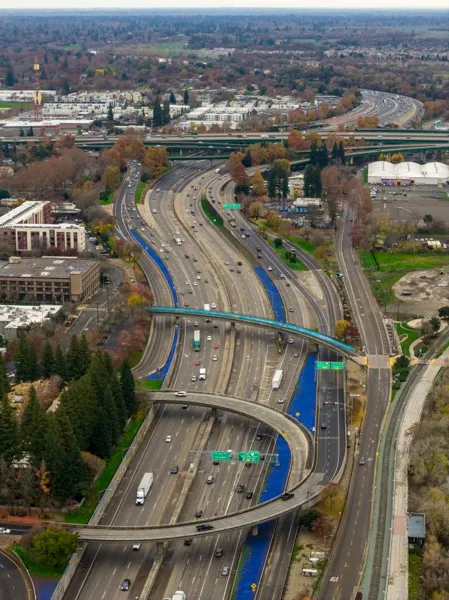
Road Surveys
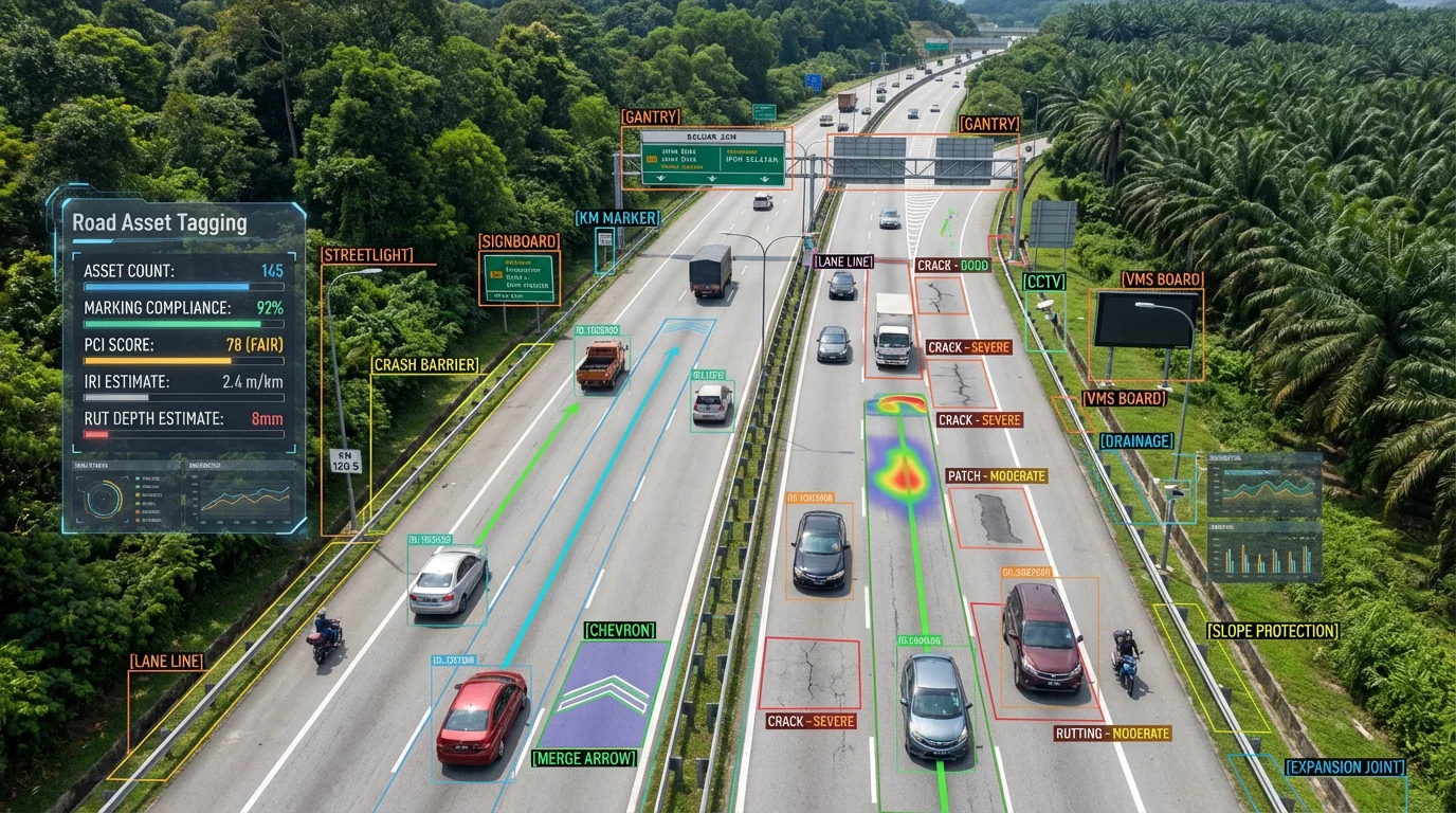
Automatically detect road assets, pavement defects, and condition scores from any dashcam video. Reduce inspection time and costs with actionable data on an interactive map.
Why Organizations Choose RoadAsset
Proven ROI and measurable results from day one
Cut Survey Costs
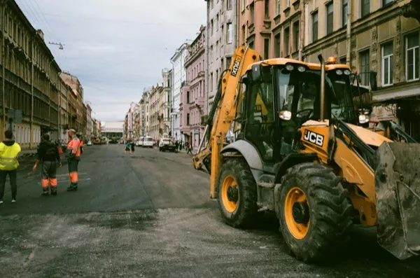
Replace expensive manual inspections with AI-powered video analysis. One vehicle, one camera, entire network coverage.

Faster Data Collection
Survey 100+ km of roads per day instead of manual point inspections. Get results in hours, not weeks.

AI-Assisted Detection
AI-powered detection identifies road assets and defects with consistent, objective accuracy across all surveys.

Data-Driven Decisions
Prioritize maintenance based on objective condition data. Justify budgets with comprehensive visual evidence.
Solutions for Every Stakeholder
Purpose-built features for your industry and role
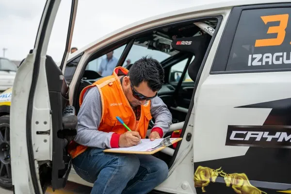
Contractors
Win more contracts with data-driven road surveys
Highway Operators
Monitor thousands of kilometers with AI-powered insights
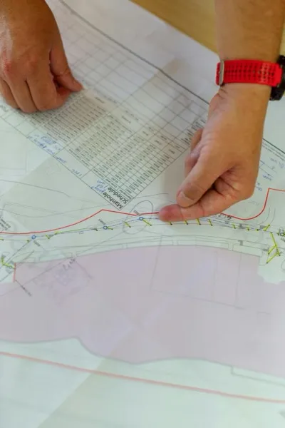
Government
Do more with less using AI-powered road inspections
Consultants
Scale your survey operations without scaling headcount
Explore Use Cases
From asset inventories to condition surveys, RoadAsset handles it all
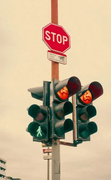
Asset Inventory
Catalog every sign, light, and guardrail along your road network
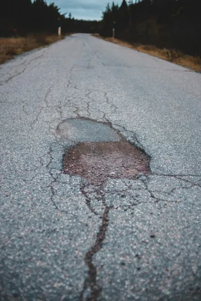
Pavement Survey
Detect potholes, cracks, and surface defects at scale

Green Assets
Map and monitor street trees and green infrastructure
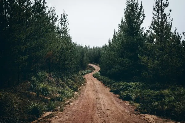
Off-Road
Document trails, access roads, and remote infrastructure
Built for ML Training Workflows
Every feature designed to accelerate road infrastructure dataset creation—from video ingestion to YOLO export.
From Video to Dataset in Minutes
A streamlined workflow optimized for creating ML training data from dashcam footage.
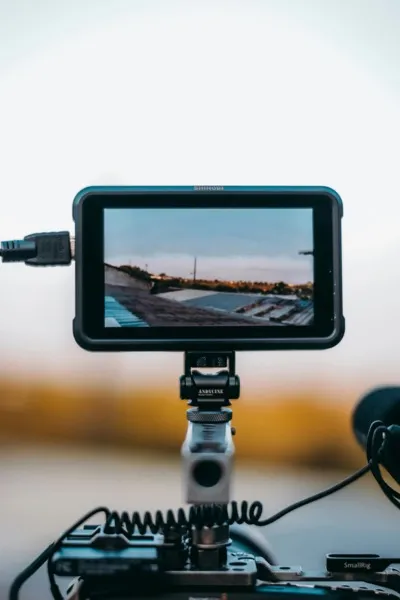
Upload Video
GoPro MAX 360° footage with GPS
View GPS Track
Interactive map with route overlay
Tag Assets
Draw boxes, AI classifies
Dashboard
Analytics & asset overview
Export Dataset
YOLO11, VOC, or CSV format
GoPro MAX 360° Videos
Load GoPro MAX footage directly in-browser. GPS telemetry is automatically extracted from GPMF metadata with sub-second precision.
Precision Bounding Boxes
Draw bounding boxes on video frames. Auto-detect LHS/RHS positioning based on frame coordinates. Perfect for ML training data.
AI Vision Analysis
Qwen3-VL vision model classifies assets, reads sign text via OCR, and assesses condition. Client-side YOLO detection available.
ML Dataset Export
Export annotations in YOLO11 or Pascal VOC format with train/validation splits. Full-frame extraction at 1920×960 resolution.
GPS Track Visualization
MapLibre GL renders your drive path. Click anywhere on the track to jump to that video timestamp. Asset markers sync in real-time.
360° Streetview Mode
Extract frames at 1-meter intervals. Three.js panoramic viewer lets you explore any location along your recorded route.
Pre-Configured Asset Types
Malaysian JKR standard categories included
Country-Specific Asset Categories
Pre-configured asset types based on national road infrastructure standards. Select your country to get region-specific categories and codes.
Malaysia
Singapore
Indonesia
Netherlands
Need Categories for Your Country?
We're expanding our coverage. Request asset categories for your country's road infrastructure standards, and we'll prioritize adding them.
Request CategoriesHelp & Resources
Get answers to common questions or reach out to our support team for assistance.
Guides
Step-by-step tutorials for loading models, configuring detection, and optimizing performance.
View GuidesFAQ
Find answers to frequently asked questions about video upload, GPS sync, AI detection, and data export.
Browse FAQContact Us
Get in touch for enterprise solutions, partnerships, or general inquiries. We'd love to hear from you.
Contact Us