Drainage
Inspect drains, culverts, and flood-prone assets
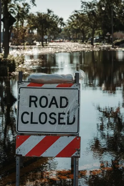
Inspect roadside drains, culverts, waterways, and flood-prone infrastructure to identify blockages, structural damage, and maintenance risks. Essential for flood mitigation planning and disaster preparedness.
Roadside drainage culvert and water management infrastructure
Key Features
Everything you need for comprehensive drainage & flood infrastructure
Drainage Asset Detection
Identify side drains, culverts, grates, inlets, and open channels along road corridors
Blockage Identification
Detect debris accumulation, vegetation overgrowth, and sediment buildup in drainage structures
Structural Condition Assessment
Evaluate concrete cracks, erosion damage, and structural deterioration of drainage assets
Flood Risk Mapping
Identify water overflow indicators and erosion zones for flood mitigation planning
How It Works
A simple four-step process to get started with drainage & flood infrastructure
Survey Drainage Network
Drive roads capturing drainage structures and waterway crossings
AI Detection
Automatically identify and classify drainage infrastructure types
Condition Assessment
Evaluate structural condition and flag blockages or damage
Priority Reporting
Generate maintenance priority lists and flood risk maps
Ideal for These Industries
Drainage & Flood Infrastructure is perfectly suited for these stakeholders
Municipal & Government Agencies
Do more with less using AI-powered road inspections
Highway & Toll Road Operators
Monitor thousands of kilometers with AI-powered insights
Engineering Consultants & Surveyors
Scale your survey operations without scaling headcount
Road Maintenance Contractors
Win more contracts with data-driven road surveys
Related Use Cases
Explore other applications that complement Drainage