
Off-Road
Document trails, access roads, and remote infrastructure
Map off-road tracks, rural access roads, and remote infrastructure that falls outside standard GIS coverage. Perfect for forestry, plantations, mining, utilities, and adventure tourism operators.
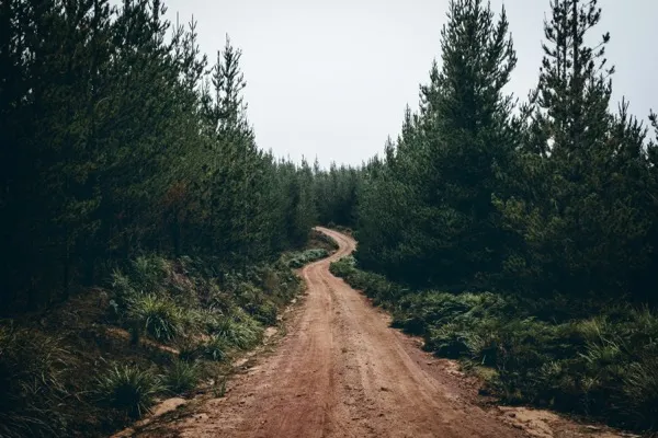
Rural dirt road through forest terrain for off-road trail mapping
Key Features
Everything you need for comprehensive off-road & rural mapping
Unmapped Road Coverage
Document roads and tracks that don't exist in standard mapping databases
Access Condition Assessment
Evaluate road passability, surface type, and hazard conditions for route planning
Trail Degradation Detection
Monitor erosion, washouts, and surface degradation on unpaved routes
Harsh Environment Ready
Process footage from dusty, wet, or low-visibility conditions
How It Works
A simple four-step process to get started with off-road & rural mapping
Explore & Capture
Drive or ride through target areas with 360° camera recording
Extract GPS Track
Generate accurate route maps from video GPMF metadata
Tag Conditions
Mark road conditions, hazards, and points of interest along the route
Create Trail Maps
Export route data for GPS devices, mobile apps, or custom mapping systems
Ideal for These Industries
Off-Road & Rural Mapping is perfectly suited for these stakeholders
Related Use Cases
Explore other applications that complement Off-Road